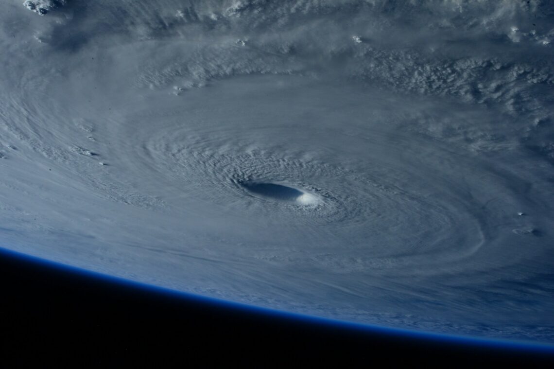
Hurricane news can feel loud. A storm may still be far away, yet the maps change every few hours. One model turns left. Another turns right. A headline says “major hurricane.” It is easy to feel lost.
The best way to stay calm is to focus on a few facts. Know your local risk. Know when watches and warnings begin. Know your evacuation plan. Then act early, one small step at a time.
Start With the Main Storm Risks
A hurricane brings more than wind. Storm surge can push sea water onto the coast. Heavy rain can flood roads far inland. Tornadoes can form in rain bands. Power can fail for hours or days. That is why the storm category is only one part of the story.
The National Hurricane Center hurricane hazards guide lists the main storm risks. They include surge, heavy rain, floods, high wind, rip currents, and tornadoes. When a storm is near, use its forecast first. Social posts and model maps can add noise.
Watch, Warning, and the Forecast Cone
A hurricane watch means hurricane conditions are possible in the watch area. A warning means they are expected. A warning is the time to finish your plan, not start it.
The forecast cone shows where the storm center may travel. It does not show every place that may get wind, rain, or surge. A town outside the cone can still have serious weather. Do not treat the center line as a promise.
Spaghetti models show many possible tracks from computer models. They can help show a trend, but they are not a local forecast. If the lines spread out, there is more doubt. If they gather in one area, confidence may be higher. For action, go back to the official forecast and local alerts.
Wind Matters, but Water Can Be Worse
Wind speed sets the hurricane category from 1 to 5. But water can be just as dangerous, and often more dangerous. Storm surge can move deep into low coastal areas. Heavy rain can flood rivers, creeks, and streets well away from the coast.
If you live near the coast, know if your home is in a surge zone. Know your way out. If local leaders tell you to leave, go early. Roads get slow as the storm gets close.
Inland towns need a plan too. A hurricane can weaken after landfall and still drop a lot of rain. Creeks can rise fast. Trees can fall in wet soil. Never drive through flood water.
Build a Simple Hurricane Kit
Good prep starts before the shelves are empty. Keep water, simple food, medicine, pet supplies, flashlights, batteries, and phone chargers ready. A NOAA weather radio can also help when cell service or power is weak.
A small emergency kit is more useful than a pile of gear you never use. Keep LED flashlights where everyone can find them. Keep a charged power bank with the kit. Add water, food, medicine, first aid, copies of key papers, and pet items.
What to Do Two or Three Days Before
Two or three days before a possible hit, fill the car, refill medicine, charge power banks, and clear loose items from the yard. Check your roof drains and gutters. Put important papers in a waterproof bag.
One or two days before, move outdoor furniture, grills, and planters inside. Put cars away from weak trees and low spots. Freeze some water jugs to help the freezer stay cold if power goes out.
If you may need to drive out, check the car before the rush. A flat tire on the way out can turn a small problem into a hard one. Our step-by-step tire change guide can help you make sure the spare, jack, and lug wrench are ready.
Plan for Power Loss and Heat
A storm can also bring dangerous heat after the wind is gone. Air conditioning may be off for days. Older adults, young children, and people with health needs may need a cooler place. Our extreme heat safety guide has simple steps that also help after a long storm outage.
Never run a generator in a house, garage, porch, or other closed space. Keep it outside and well away from doors, windows, and vents. Deadly gas can build fast and may give no warning.
Stay Safe During and After the Storm
During the storm, stay inside and away from windows. Use an interior room if wind is strong. Do not go outside during a calm period unless officials say the danger is over. The eye can pass, then strong wind can return from the other side.
After the storm, wait for local officials to say travel is safe. Stay away from downed power lines. Do not walk or drive through flood water. It can hide holes, sharp debris, sewage, or live electrical lines.
Take photos of damage before major cleanup when it is safe to do so. Save receipts for emergency repairs. If water entered the home, start drying the space as soon as it is safe.
Make a Family Plan That Is Easy to Follow
Families should make the plan simple. Kids can have one small job, such as carrying a flashlight or pet bag. Older family members may need extra medicine, spare batteries, or more time to leave. Pets need carriers, leashes, food, water, and records.
If you hike, camp, or live near creeks, remember that water can rise after rain falls far away. The Sipsey Wilderness safety guide at Noah’s Outdoors makes the same point: a creek that looks safe now may become hard to cross later.
Check News at Set Times
When a storm is active, check news at set times instead of all day. Morning, midday, and evening are often enough unless a warning changes. This cuts stress and helps you notice what matters.
Travel plans also need fresh checks. If a trip may cross the storm area, verify airport, road, hotel, and weather details before you leave. The same rule applies when using an AI trip planning tool: do not let an old itinerary overrule a new warning.
Keep the Plan Simple
The main idea is simple. Read the map, but do not stare at one line. Trust official warnings. Watch the water risk. Move early when told to move. Keep your plan small enough to follow.